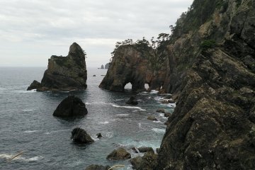
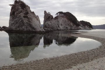
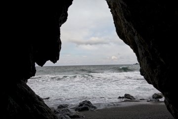
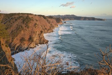
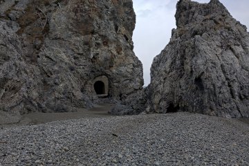
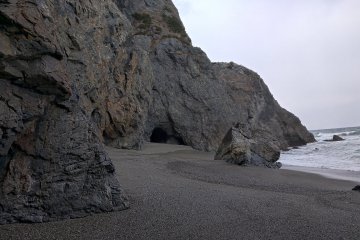
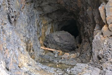
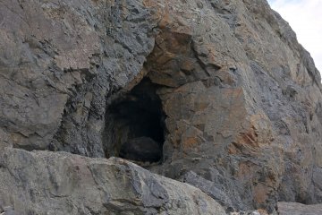
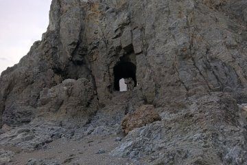
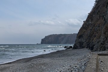
The Sanriku Coast is one of the most beautiful parts of Tohoku. The jagged edge gives it many beautiful and amazing features. At the same time, it makes it more difficult to travel and more dangerous in times of tsunami. Some people, painstakingly, tried to make the section more passable. These are the Unosu Dangai Tunnels.
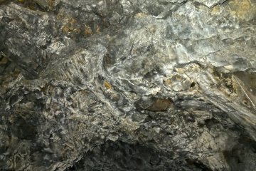
I had traveled several times to Tanohata to visit Kitamiyazaki and Unosu Dangai, little did I know that just five hundred meters away, lay one of the most impressive series of hand made tunnels in Japan. I can't find much information on the history. All I can see is that some of these tunnels have small stalactites of a few centimeters forming. I assume they take decades to form.
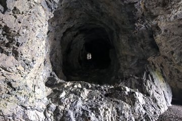
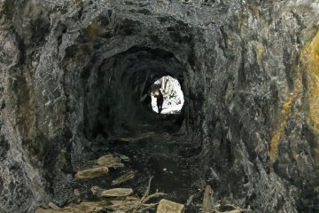
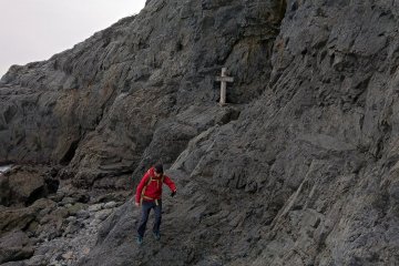
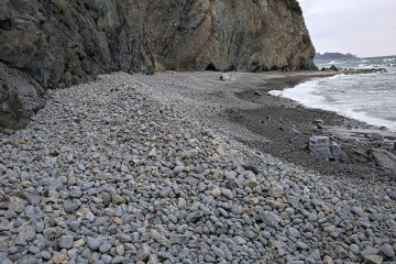
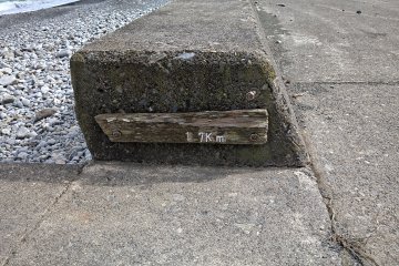
There are five tunnels in all, varying in lengths from five meters to about thirty meters. The longer ones are very dark, you will need a flashlight to see where you are going. Also, consider that the floors are full of debris making it hard to walk and easy to trip. The total distance from start to finish is just 1.7 kilometer but don't be fooled by it. Walking through it is like an obstacle course, you will walk through steep cliffs, sandy and slippery beaches, slimy rocks and have to jump over a few one-meter drops. Most of the way is quite hard to walk. So bring good hiking shoes.
A very important point to consider is the tide. This walk should only be attempted at low tide. At high tide, the area is impassable, you could easily be trapped between the sea and a 200-meter high rock cliff. On my first attempt in January this year, even at low tide, the water wasn't low enough to reach the second tunnel. You can easily look up the tides tables for the area to choose the right time to go. It's best to start about 30-45 minutes before low tide to have as much time as possible to come back. If by accident you can't make it back before the tide is too high, there is a road at the end that will take you back. It would be much longer but a safe way to get back to your car. There is also very little traffic on that road.
After the Great East Japan Earthquake, the Sanriku Coast (Aomori, Iwate, and Miyagi) was designated as the Sanriku Fukko National Park. The government wants people to discover this great part of the country. Also a couple of years ago, they built the Michinoku Trail. It starts in Soma, Fukushima in the south and ends in Hachinohe, Aomori in the north. It connects 4 prefectures, Fukushima, Miyagi, Iwate, and Aomori. Here is a link with videos; https://www.michinokutrail.com/


