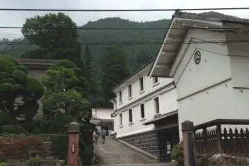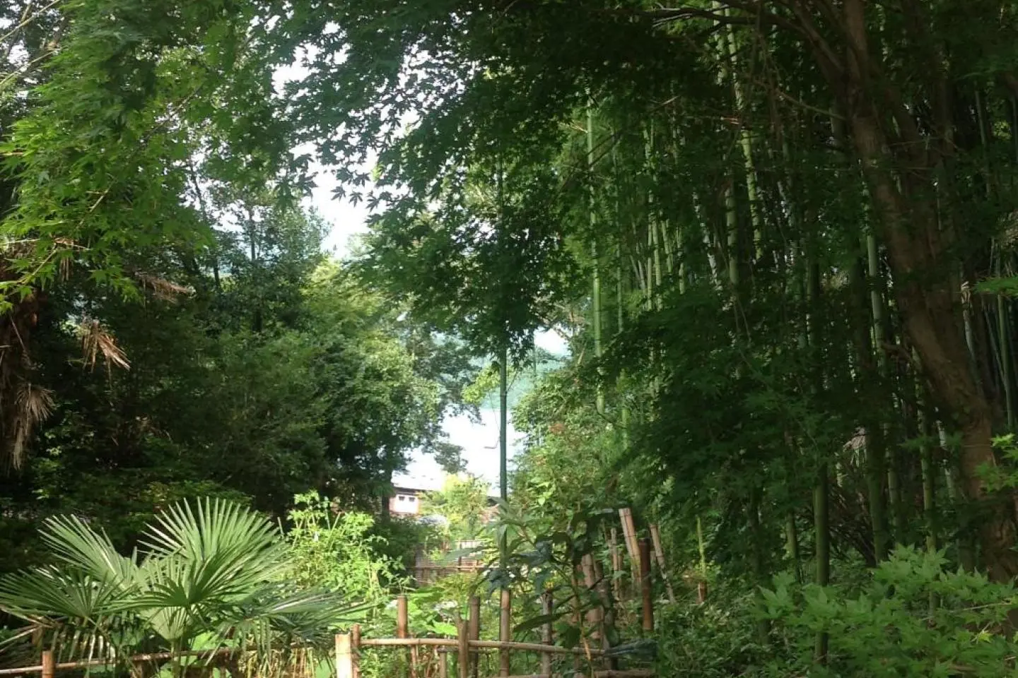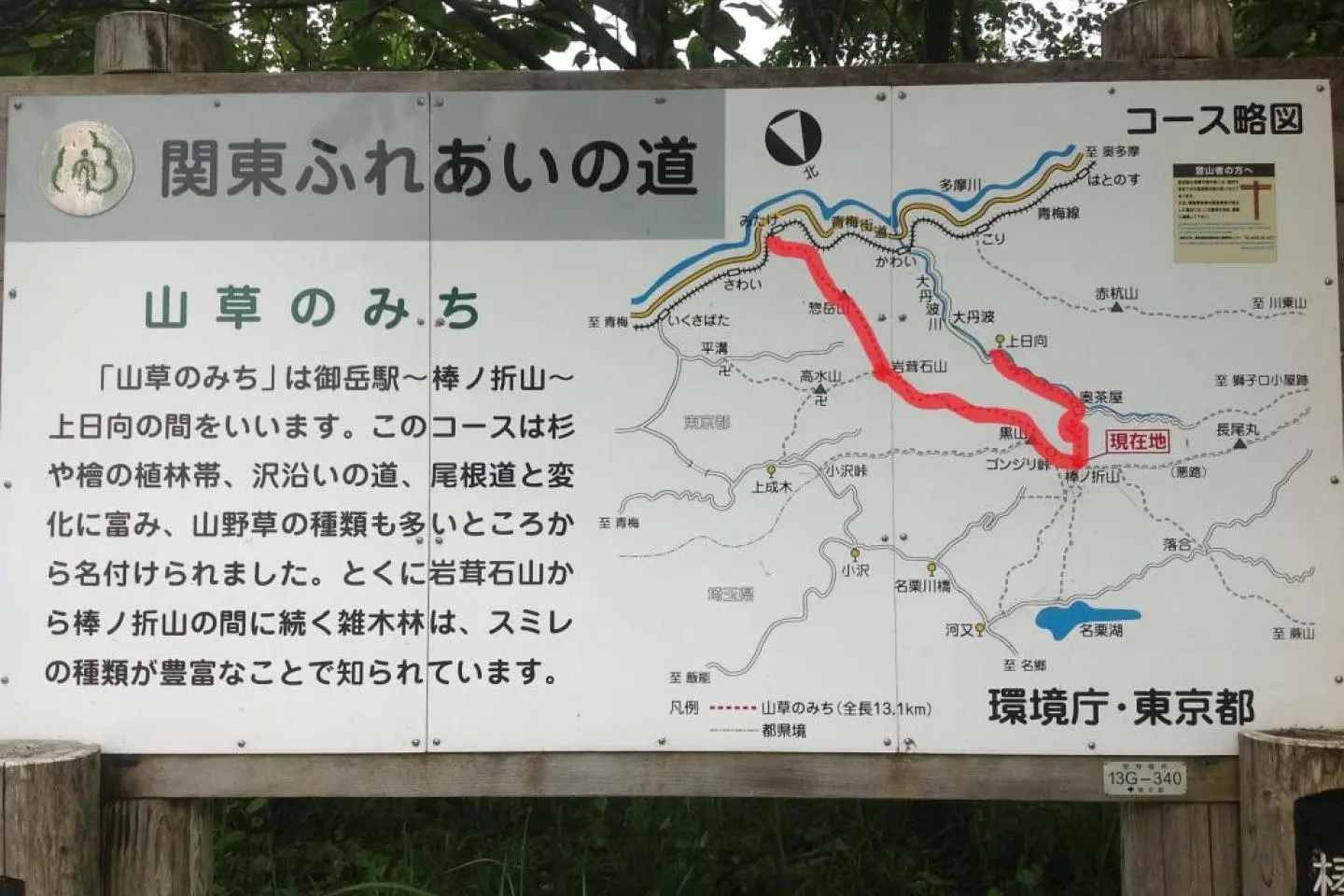
The Mountain Grass trail is 13.1 km (8.14 miles) long and begins near Mitake station in the Tama river valley of Ome city, about an hour and a half out of Tokyo by rapid train. The entrance to the trail is just a little ways down from the station going back towards Ome and follows a small road behind a kayaking school/rental place. Walking past there follow the trail as it enters the grounds of a Shinto shrine and through a lush bamboo grove up into the mountain.
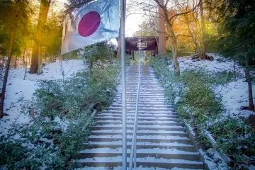
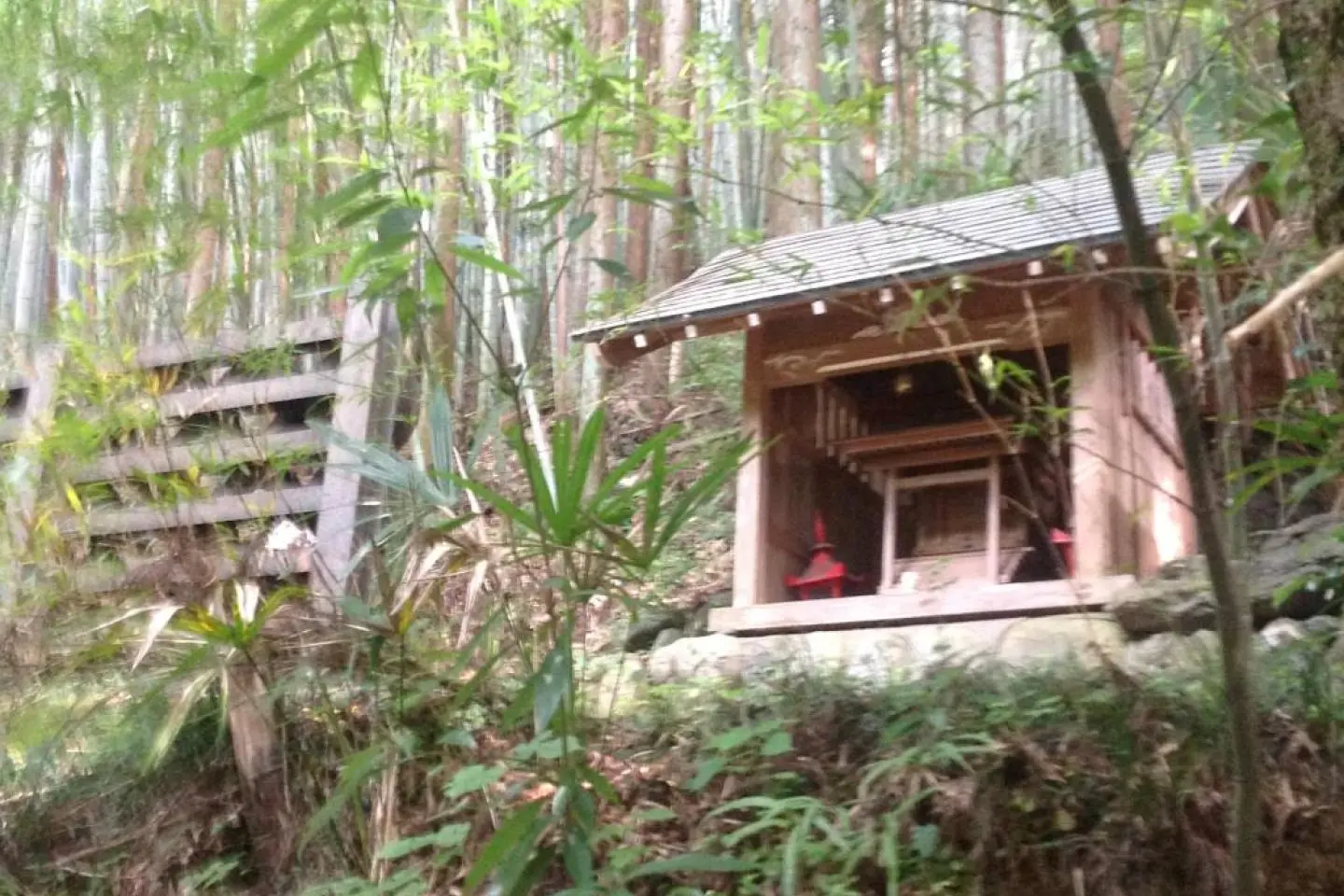
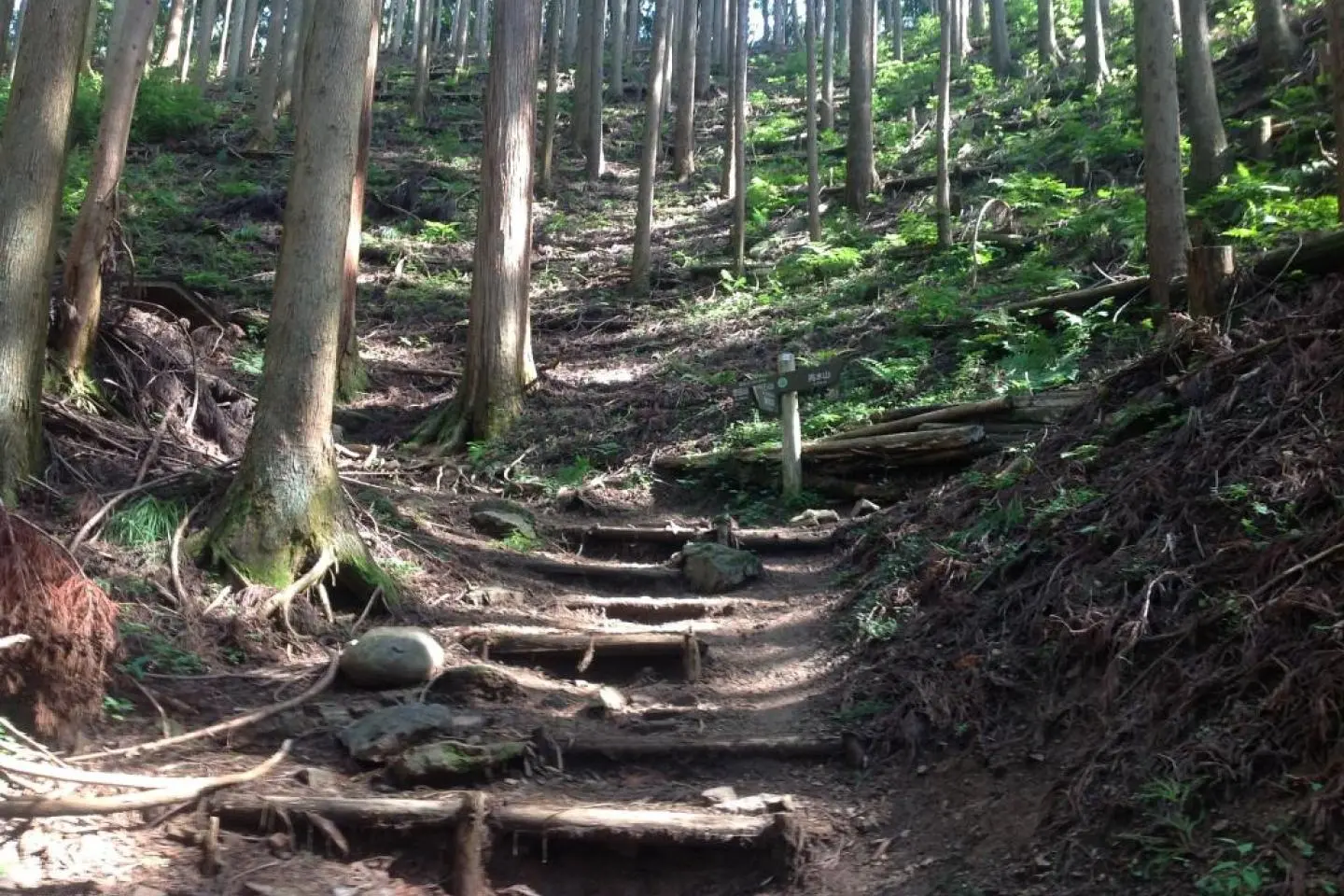
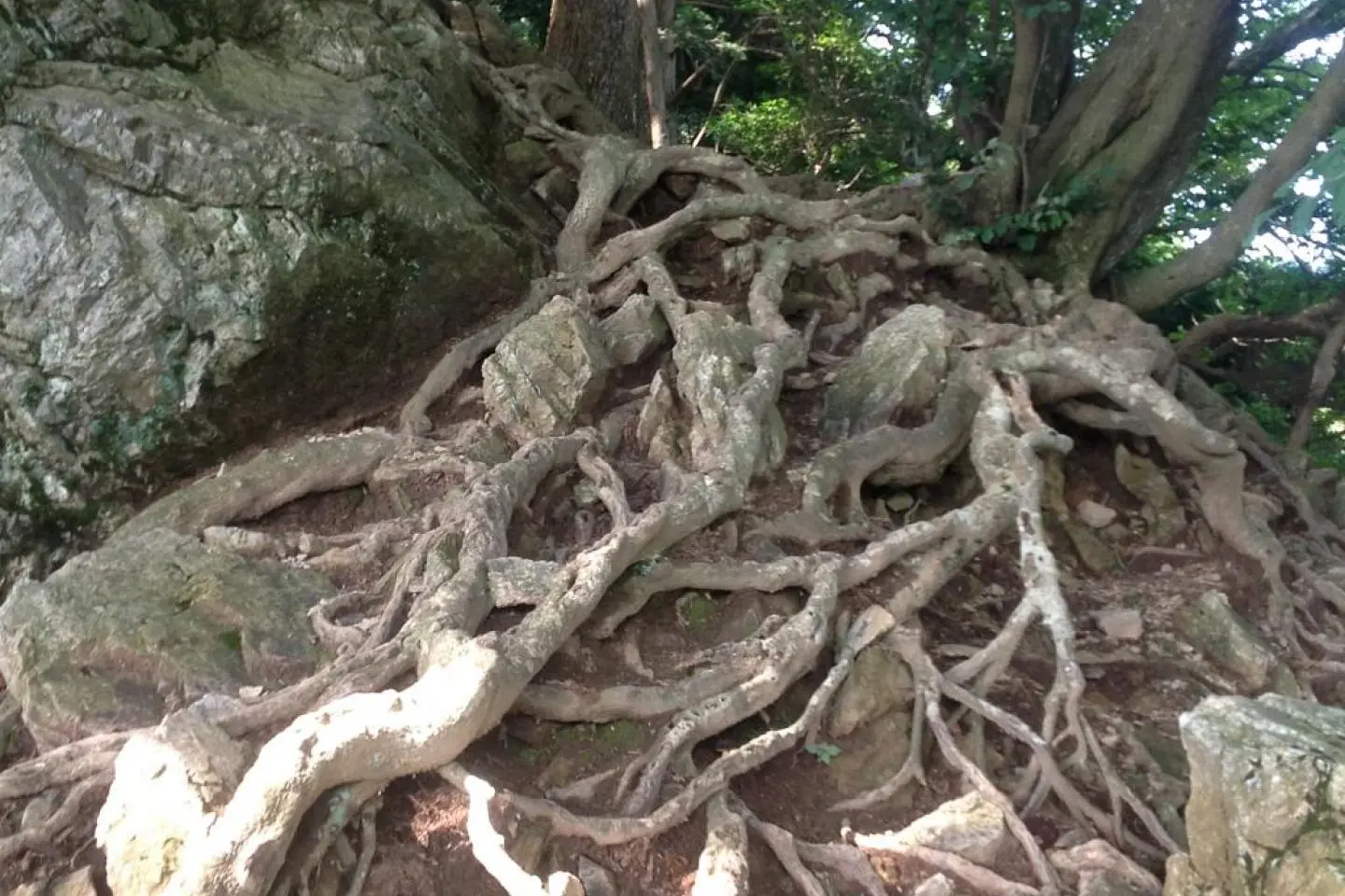
It is a really great hike as the trail climbs higher into the mountains and the forest changes from maintained evergreens to the original broad leaf forest. The trail eventually curves around near the Saitama prefecture border. There is a chance to keep walking on a second Kanto Fureai no Michi trail that goes north into Saitama to a large man-made lake. However this trail winds its way up and down several mountain ridges and through one large lonely mountain Shinto shrine with great wood carvings.
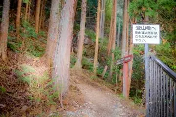
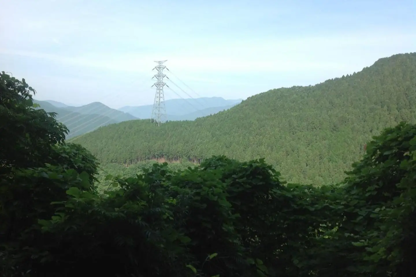
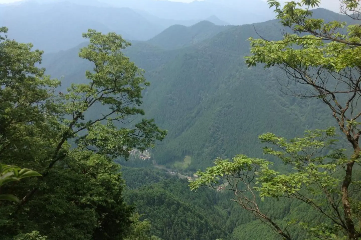
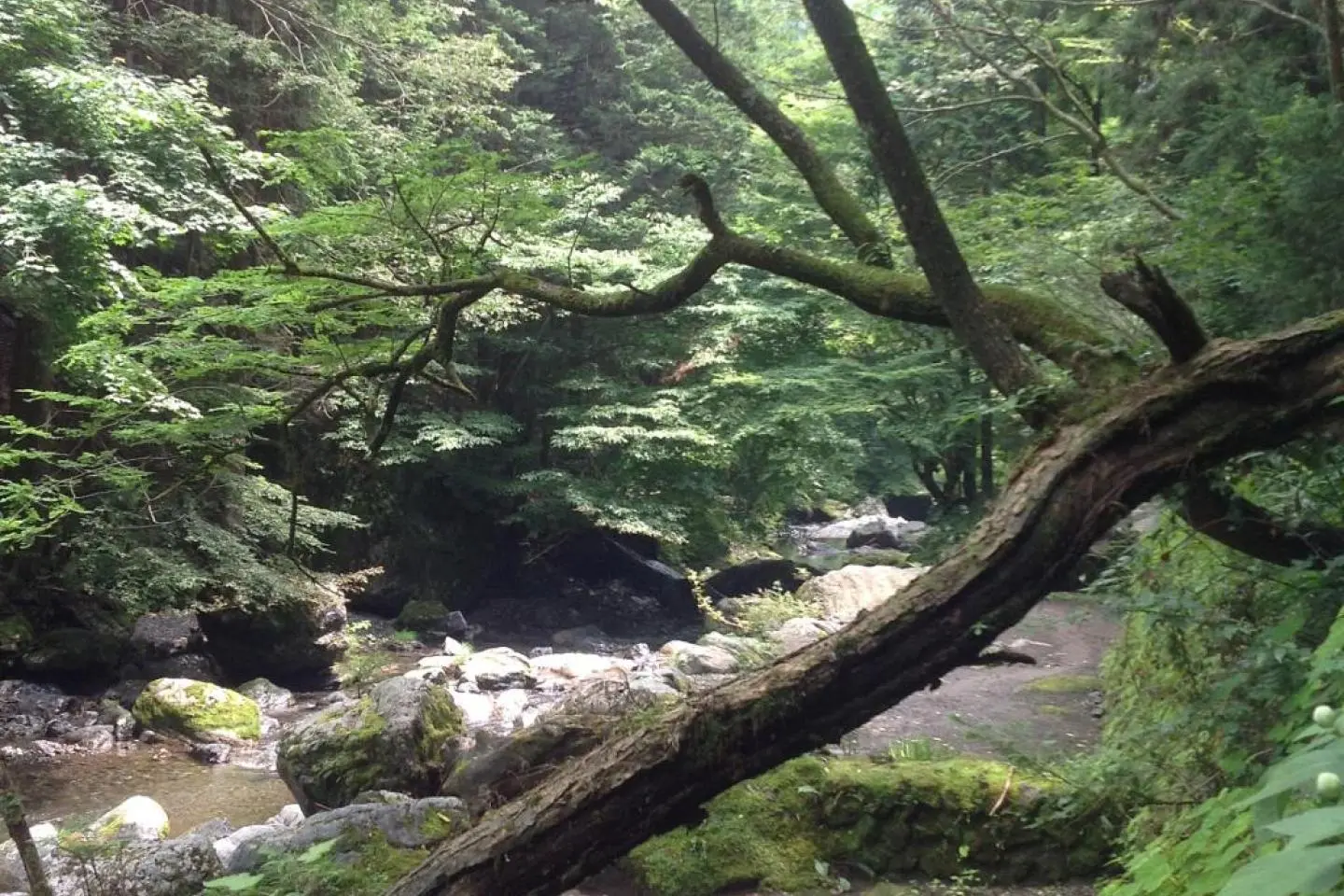
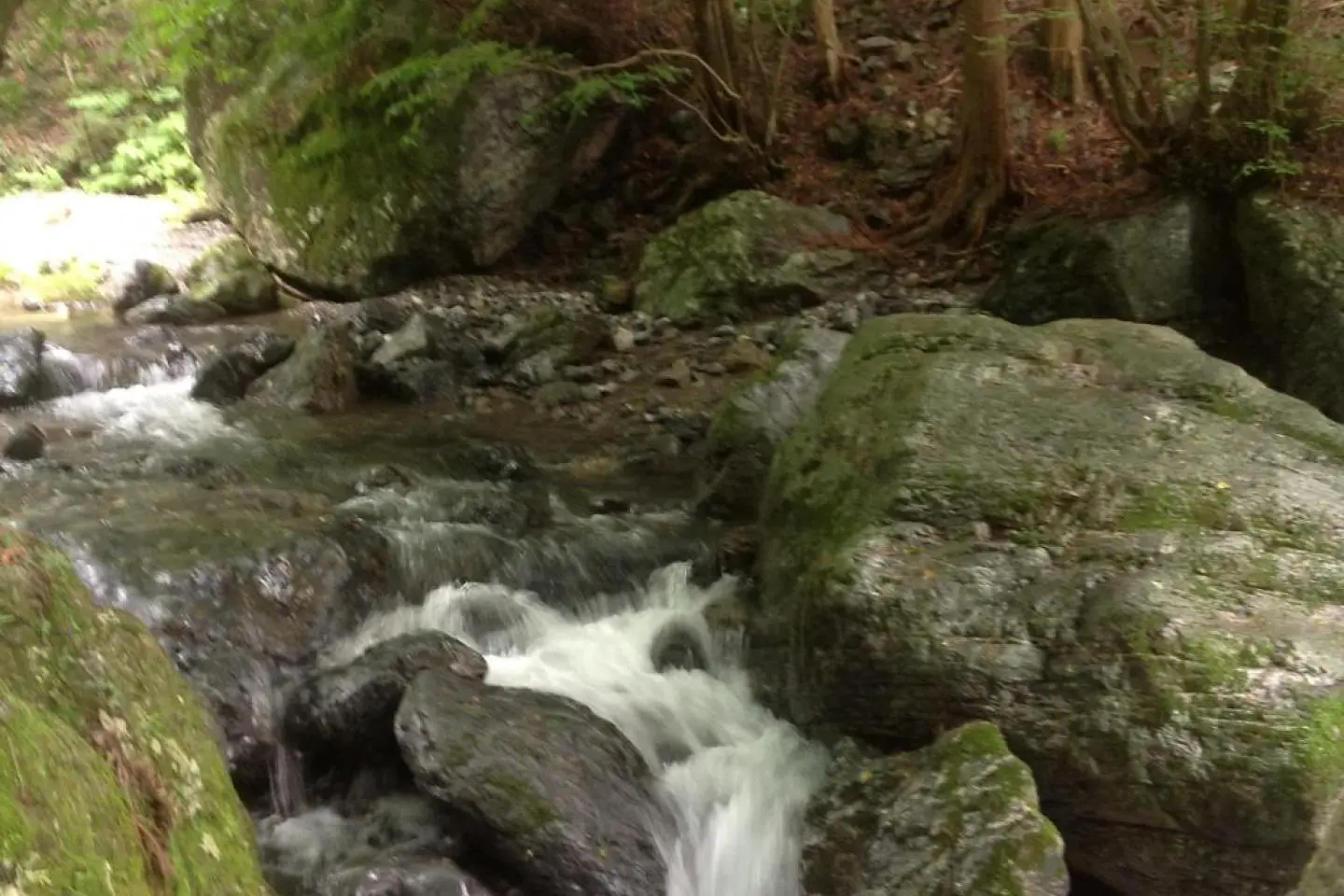
After the last mountain called Bounomine, 棒ノ嶺 (pronounced similar to boe-no-mee-neh), which has excellent views of the mountains ranges in Saitama prefecture and is apparently the namesake of the trail, the trail begins to begins a very sharp descent that eventually brings the traveler to a small river valley. Near where the trail reaches the roadway there is a kind of restaurant/bar-b-que type complex of structures that are semi-abandoned along the river. This place has some great spots to just take a nice cool dip in the mountain water. It’s really refreshing after several hours of hiking and there usually aren’t many people there to wonder what the foreign tourist is doing.
Walking down the roadway there are several houses and camping areas along the river. Eventually there is a bus stop, but the bus here only comes about three times a day. Keep going down and after a kilometer or two there will be another bus stop with buses at least once per hour that can take the traveler close to Kawai station. However just walking down the road is interesting on its own as several of the houses and other buildings are perched over a pretty steep river valley. Also be careful of the stop at Kawai station as the station is not in ready view from the bus, but is a short walk under and around the backside of the railroad trellis.
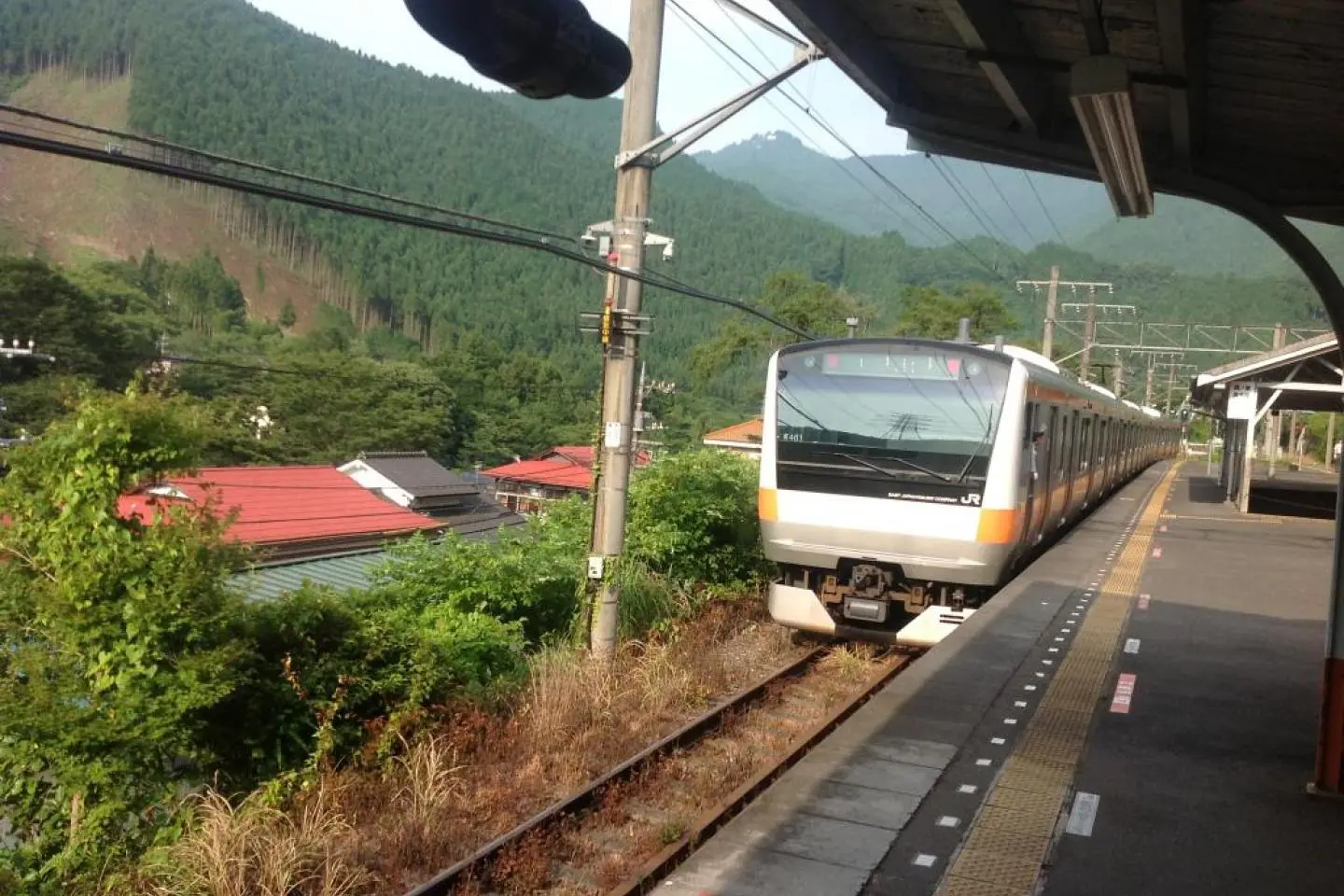
The Mountain Grass trail is part of a regional network of trails collectively known as the Kanto Fureai no Michi (pronounced like Kantoe foo-leh-ai no meechee), which covers the provinces of Tokyo metropolis, Saitama, Kanagawa, Chiba, etc. It is divided into 144 segments that can be taken one or two a day. This is the seventh of seven coming from the south. The beginning and ending stations of Mitake and Kawai are on the Ome line. The Ome line begins at Ome station which is regularly serviced by rapid trains from Tokyo and Shinjuku stations as well as slower local trains.
It is highly advisable for the traveler to get a trail map from the information center just outside of Mitake station. It has all the maps for the Tokyo area Kanto Fureai no Michi. The person at the information center is very friendly and will provide the traveler with a lot more information than they really need if it’s a slow day.