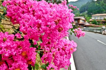
With its picturesque little villages, beautiful rolling hills, and long following rivers, the rural landscape of Ogose in Saitama Prefecture offers the perfect escape from the urban metropolis.
Within easy commute from central Tokyo, this area has many great hiking courses whilst boasting some impressive temples and three large waterfalls.
The course
From outside Ogose Station (See Access info below) several great hiking courses will lead you directly into the rural heart of Ogose.
One of my favourite hikes involves walking up to the waterfalls via Mount Otakatori where you can see many great sights along the way including the impressive Ryuonji Temple and many small picturesque villages.
To Mount Otakatori
From the station exit walk down the main street in front of you, and enter Hoonji temple (法恩寺), where you will see a large signpost for Mount Otakatori, (大高取山).
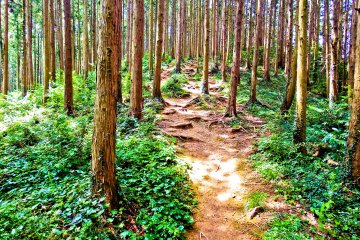
To the peak it’s about an hour’s walk through a peaceful forest with some unusually tall trees. With the summit only being about 376 meters high this is a relatively easy climb. On the descent down, the trail will lead out into an open area containing several quaint little houses.
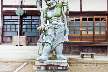
Down the road is a small temple called Entsuji (円通寺), containing two rather scary looking Buddhist statues.
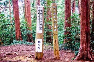
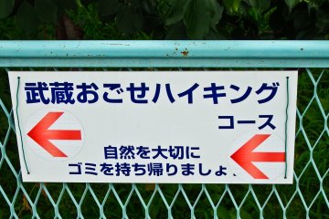
Near this temple is the first of many small but distinctive white signs with blue lettering and a red arrow pointing you along this very user-friendly course.
Towards Ryuonji Temple
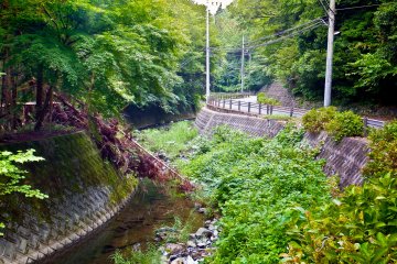
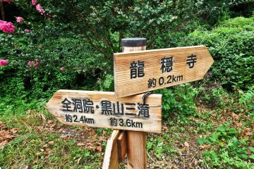
Several minutes later, you will reach a cross roads with a large river on your left marking the 2.3 kilometer hike towards your next objective; Ryuonji Temple (龍穏寺).
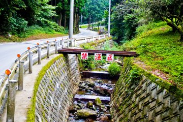
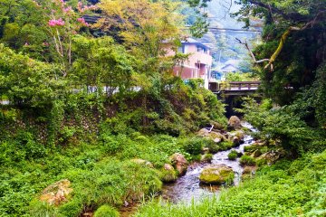
With the path now following a long winding river, you will pass through an array of different landscapes ranging from forests to rolling hills until you come out to an open area containing flat fields bursting with rich green vegetation.
As you follow the ascending path on your left you will soon be treated to your first unspoilt view of the surrounding landscape. Characterized by a line of small picturesque villages dotted along a mountain valley, you cannot fail to be impressed by this timeless view of rural Japan. This notion of `timelessness` was reinforced by the fact that I didn’t see a single vending machine for several hours!
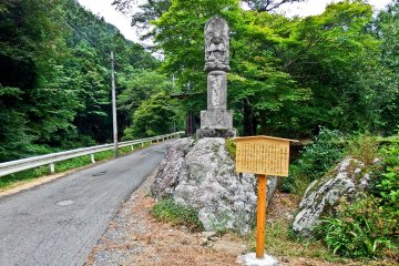
Before long you will reach Tatsugaya bridge (たつがや橋) with the approach to Ryuonji Temple clearly marked on the right by a large Buddhist statue.
After walking around this tranquil temple make sure you take the path returning back to this bridge and not the one leading away from it!
Heading for the Three Waterfalls
From the bridge, now follow the clearly marked sign for Koroyama-san-taki ( 黒山三滝), which leads to the waterfalls located several kilometers away.
This final part of the hike re-joins a large river, passing through several more picturesque villages with the occasional roadside cafe offering a good chance to take a rest.
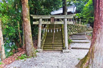
Several meters away from the waterfall entrance is an impressive little shrine on the right, called Kuroyama Kumano (黒山熊野). Interestingly, this is affiliated to the world famous Kumamo Kodo Shrine in Mei Prefecture, hence its similar sounding name.
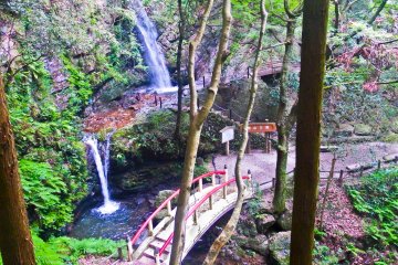
From the impossible-to-miss waterfall entrance gate it’s about a 15 minute return walk, with the path now passing through many deep gorges surrounded by a thick forest canopy.
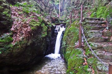
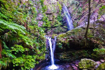
The first waterfall you will come to is Tengu-Taki (天狗滝). Standing 20 meters tall, this is the largest of the three. Several narrow footpaths running through the canyons allow you to get an even closer look.
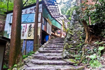
To reach the two remaining falls, you must continue along the main path for several more minutes passing through some old run down souvenir shops which look like they are about to fall down.
As the gorge comes to a deadend you will suddenly see Odaki-Taki (男の滝) and Medaki-Taki (女の滝), the last two remaining falls. In English these names mean male and female waterfall, with the former standing 5 meters higher than its female equivalent; sorry girls!
When returning back to the main entrance, look for the bus stop on the left side of the road. The relaxing 20 minute ride back to the station will offer you one last chance to see the picturesque countryside before heading back to the neon glow of the city.
Access
From Tokyo’s Ikebukuro Station the Tobu Tojo Line offers the cheapest and easiest way to Ogose Station, taking a little over an hour and costing about 770 Yen.


