Japan has a lot of excellent mountains for hiking and climbing, but if spending all day walking uphill doesn’t appeal to you, there is still a great way to enjoy the great outdoors.
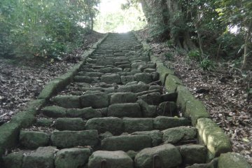
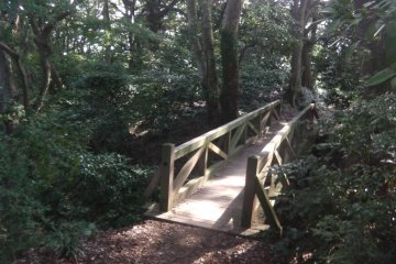
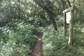
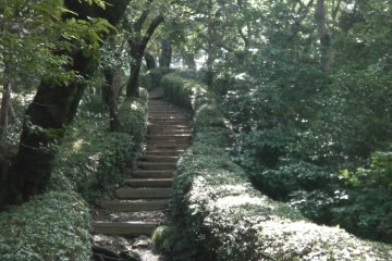
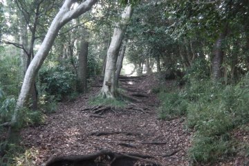
The Oiso Hiking Course is a very easy yet beautiful trail that could appeal to people of all ages and physical capabilities. The course extends across the small chain of mountains that can be seen just north of JR Oiso Station, including Mt. Koma, Mt. Asama, and Mt. Yatawara. The course is relatively flat and features manageable ups and downs from peak to peak within the chain of mountains. The footing is stable and soft. It's a well-maintained trail that has plenty of steps carved into slopes, and even some small bridges built over some of the more treacherous parts.
Ascending the westernmost mountain (which is the nearest, and beginning on the far-left when looking at the mountains from Oiso Station) is an easy climb, with gentle slopes cutting back-and-forth. The trickiest part is finding the starting point, which involves navigating through the city without much guidance. Be sure to check a map first, and keep your eyes peeled for signs pointing the way to Shonandaira Hills (which is written as 湘南平).
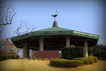
Shonandaira Hills is a large, park-like area on top of the westernmost mountain. Along with some gardens and playgrounds are two large observatories which provide stunning views of the city and coast below, including the Oiso Port. The Resthouse is an observatory with funky, modernistic architecture that allows visitors to take in the view at different levels facing in different directions. The Resthouse also has a nice café-style restaurant where customers can eat a variety of simple meals (including curry and ramen) while overlooking the sights. Nearby is the large orange and white TV tower, which allows guests to enter up to the second level. For readers who can’t comprehend how “easy” and “hike” could fit together in the same sentence, there are also a pair of parking areas near Shonandaira Hills to provide you with a nice afternoon without any hiking at all.
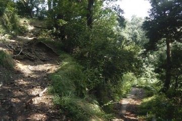
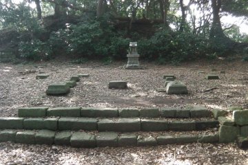
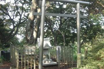
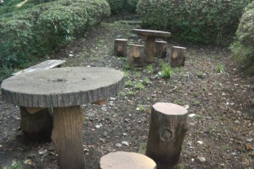
Trekking eastward from Shonandaira Hills takes hikers onto the beautiful forested hiking course. Big, majestic trees, flower patches and some of the most unique-looking butterflies I’ve ever seen cover the trail from one side to the other, which is also dotted with several small shrines. There are benches and even picnic tables set up sporadically, and there are plenty of maps and distance markers as well. The mountaintop course is rather narrow, so it’s almost impossible to get lost. However, keep your eyes peeled for small, slightly worn paths leading off the main route – they often lead to scenic overlook points or quaint shrines that are worth visiting. From the easternmost nonstop to westernmost peak is less than an hour’s hike if you go at a good pace.


