Famous for its long rugged coastline, the scenic Miura Peninsula in Southern Kanagawa Prefecture offers some of the best beaches and hiking courses within easy commute of Yokohama and Tokyo. Situated along Miura’s western coast, Mount Ogusu is a relative midget standing at only 241 meters high however, despite its size this hiking course offers many great highlights proving that good things can come in small packages!
The course
Traversing from West to East, this pleasant two hour hike starts off in a residential area walking along a riverbank before connecting to a forest trail which leads up to the peak. Although a relatively easy hike, the section along the riverbank can get very slippery after rainfall meaning appropriate footware is essential!
Access
Shin-Zushi Station on the Keikyu Line provides the easiest access from Yokohama, taking about 30 minutes and costing 310 Yen. From the South Exit go to bus stand one and take any bus bound for Yokosuka (横須賀駅); getting off at Maedabashi bus stop, (前田橋). This pleasant 20 minute ride skirts part of the picturesque coast before dropping you off at your stop; (single fare 360 Yen).
The Hike
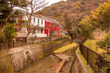
From the bus stop turn left and walk-up a long paved road where you will pass several houses and fields before reaching a bridge that crosses a river. Located towards the right of this bridge is a large map marking the trailhead whilst Mount Ogusu is clearly visible in the background along with several interesting looking Scandinavian style houses.
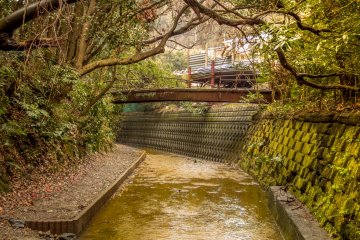
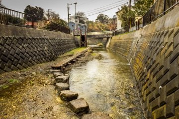
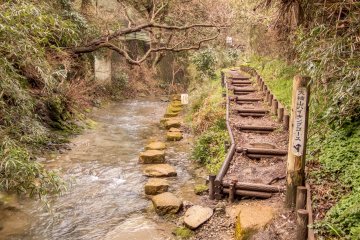
To start this hike, walk down the large set of concrete stairs and follow the path along the riverbank, passing by those colorful houses that are now on your left. For the next 10-15 minutes the course follows a riverbank and actually traverses into the river at some sections via a series of stone boulders. At this point it started to rain making this section particularly slippery. Fortunately however, I didn’t have any nasty falls!
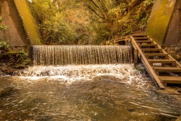
After passing a small waterfall you will walk under a defunct pedestrian bridge before reaching a Y junction where you should follow the ascending path on the right leading away from the river then turn right again, passing by a cabbage field just before a course marker for Mount Ogusu(小楠山) will appear.
To Mount Ogusu
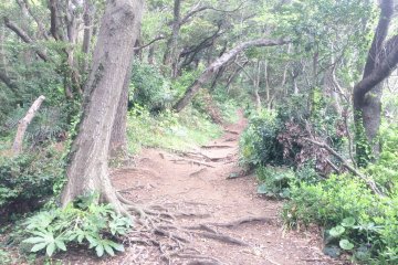
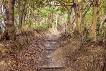
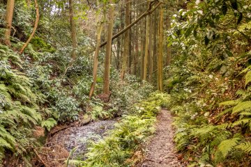
Beyond this point the trail ascends up a narrow forest path taking about an hour to the top. Several hundred meters short of the summit you will notice a large plum orchard which is a colorful sight during the plum blossom season in early spring. A few meters away from this orchard is a radio tower along with a large flower garden.
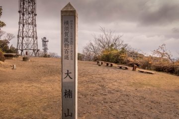
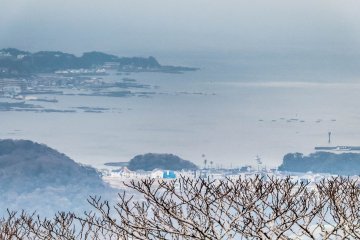
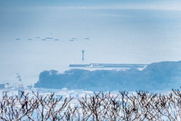
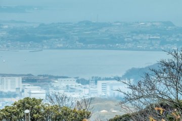
After admiring this colorful garden continue on for several minutes where you reach the summit; a wide open space containing several benches and an observation tower which, rather ironically was closed. To add further disappointment was the overcast weather ruling out any possibility of seeing some legendary views of Mount Fuji. However, despite this disappointment I was still able to get some nice views of the Miura coastline.
The final leg
From the top of Mount Ogusu head towards the back of this summit to continue this hike, descending down a staircase and following the signs for ‘Tsukiyama Park’ where the trail will now initially, run parallel to a golf course.
After about twenty minutes you will reach a forest containing several bamboo groves before passing over a wooden bridge where rather suddenly, the path reaches a large opening then continues traversing along a paved road, passing under the Yokosuka Highway via a large tunnel. At the other side of this tunnel take a left and continue following the signs for Tsukiyama Park.
Several minutes later you will enter a residential area before arriving at a cross junction with a large white building in front. Cross over the road and follow the path running parallel to the left of this building then continue along the main road for another several minutes, ignoring any smaller side turnings.
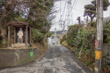
Before long you will reach a final Y junction containing a distinctive Buddhist structure. Take the road to the right of this, passing under some pylons where almost immediately, you will see a convenience store on the left with a main road running by next to it. Located in front of this convenience store is the clearly visible bus stop, representing your 20 minute ride back to Shin-Zushi Station.
Despite today’s overcast weather, slippery river crossings and partially waterlogged footpaths, this pleasant hike is guaranteed to provide many interesting highlights to reflect upon whilst gazing out at the Miura Coastline on your ride back to the station


