While this was not my first trip in Onomichi, it was my first time on Mukaishima, the first of the three islands on the Onomichi side of the Shimanami kaido. My plan for the day was simple; hike Mount Takamiyama.
My day started in Onomichi where I stayed for the night. My first stop of the morning was the convenience store to get a drink and some onigiri for lunch as I was not expecting to find a restaurant on my way. I then took the ferry to Mukaishima. Note that there is two ferry, you can take either of them. Just make sure to check the bus schedule, there is only 4 bus a day and on weekdays only. The first one is at 9:53 from the ferry the closest to Onomichi station and 10:00 from the other. I took the second option and note that the bus stop sign on the left when you get out of the bus is not the right stop, there is a note in Japanese only that say the bus stop is on the right side of the street with a picture to show where it is.
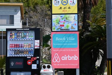
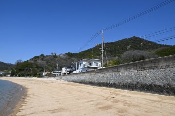
After a 18 minutes ride, stop at the 余崎, from there you can check the beach to say you climbed from sea to top of the mountain. Then continue along the street and turn right at the first street, there is a sign with an arrow that says Mount Takamiyama, continue on that road until it splits and turn right. You will soon get to the end of the street and get to the start of the trail.
An alternative would be to stop one stop later and walk up to Ushio Chocolatl a locally well known artisanal chocolate shop, just check their schedule as they are only open 5 days a week, so you only have Monday, Thursday and Friday to have both the bus and Chocolate store. There is a second trail that start right next to it.
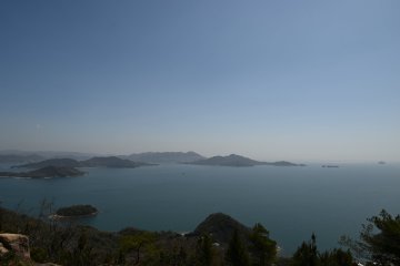
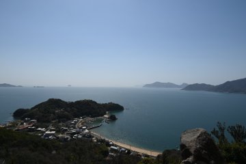
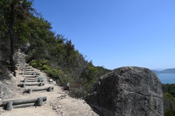
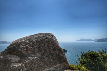
To go back to the hike, the start of the path was covered by dead leaf, then it turned into a sand/dirt path with steps at most of the incline. Not to long after the start, I crossed a path going down, that is the trail from Ushio Chocolatl. While progressing, I came across many stones with carved poetry as well as many benches, because trust me, you will constantly stop to catch your breath… not because the hike is especially hard, but the view is breathtaking. At some point you will see markers saying how far, in minutes, you are from the top, but that is unlikely as you are probably going to stop and look back. Just before the top, the path splits in two, take left to climb the stairs and reach the top.
In total, the hike took less than an hour despite my stops. On top, you will find an observation deck equipped with a toilet. There was also much more people at the top as it is accessible by car.
If you do not want to go down the same way, you can go back by the road. When you reach the first parking, where there is also toilets, you can either go toward the the spiral deck viewpoint and go down that way, Google Maps does not show that the path connect, but the Yamap hiking map suggest it does. As I was not sure (I checked the hiking map a while ago and did not remember), I took the street to go down and took right at the first intersection that is a smaller and less used road. Then you only have to walk back to the port. In total, I walked just under 11km from my from my hostel in Onomichi and back. It was just the right time to get to a cafe to take a break before walking a bit in the streets of Onomichi.
While the bus schedule is not that convenient, the other option would be to cycle or use a car (not sure where you would park) to the start of the hike, but you would have to go down by the same route, or if your objective is only the top of the mountain, you can directly go by car.


